Bangkok, Kingdom of Thailand
Overview
Bangkok is Thailand’s capital city and biggest urban centre, and one of the world’s megacities. It is part of the Bangkok Metropolitan Region (BMR),which is further composed of the Bangkok Metropolitan Area (BMA) and its five adjacent provinces, covering an area of 7,758 km2. The rapid urban expansion of Bangkok, matched with its population growth over the past few decades, has left many issues unresolved. With the city struggling in maintaining pace with urbanisation trends and match it with the provision of the necessary public infrastructure. Data is gathered and analyzed in a fragmented way, thereby hindering integrated evidence-based planning. While the transport network has been expanding over the last few years, Bangkok still remains the world's second most congested city. Among other challenges, the transport system remains inefficient due to competing and fragmented modes of transport. In addition to its topographic location, heavy rainfall and urbanization of natural retention areas has exacerbated flood risk in the city, which represents a significant challenge. While Bangkok Metropolitan Authority has a solid flood control system, there is a lack of coordination with other departments which hampers an integrated flood risk response. The three interventions in Bangkok aim to address these urban challenges, specifically through improved:
● Data integration and interdepartmental cooperation for integrated planning;
● Flood risk control; and
● Transit-oriented development approaches and integration of transport modes.
Challenges
Partners
Projects
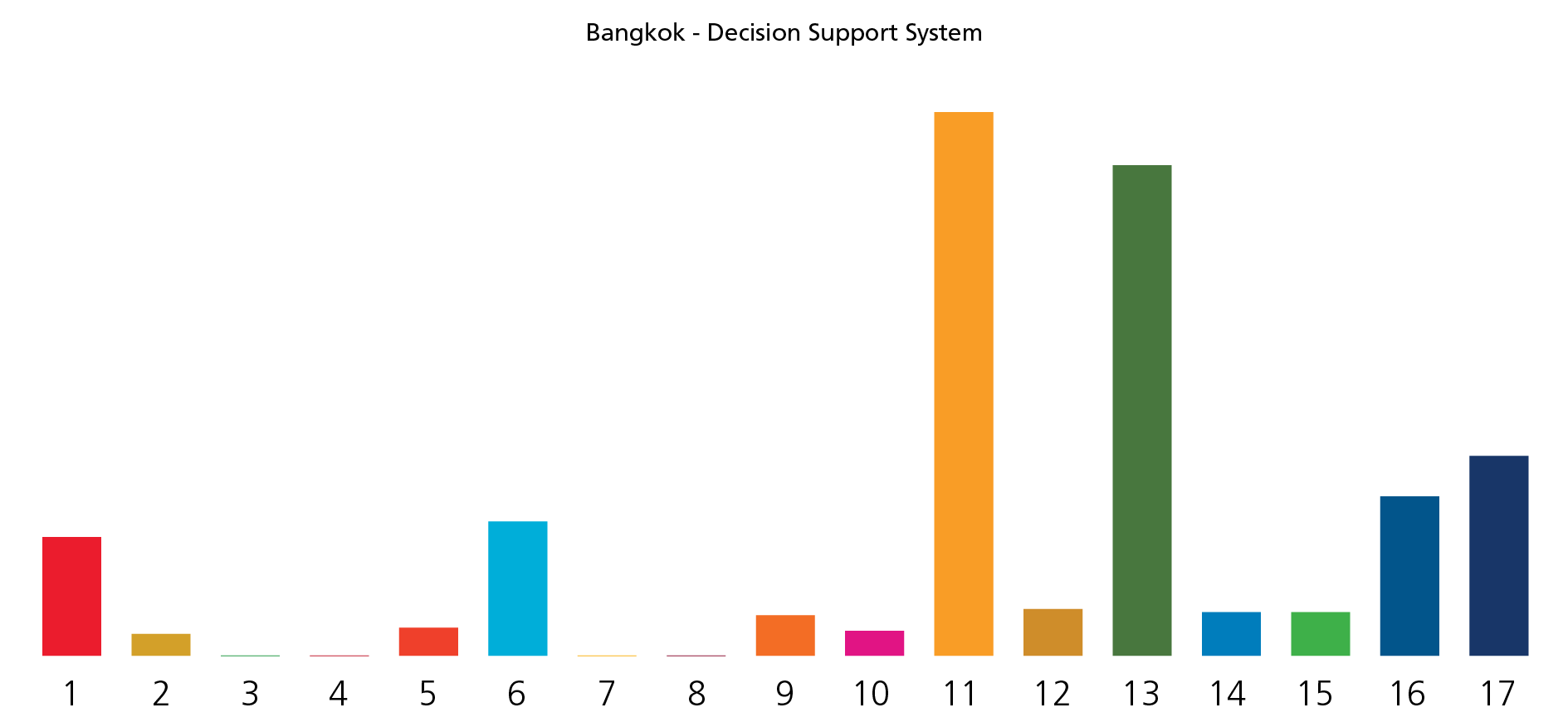
1 Decision Support System for Flood Management
View DetailsFlooding in Bangkok is a natural phenomenon. However, urbanisation has affected water bodies and flood risk areas increasingly aggressively, leading to increased pressure on the water system. Although the city recognises there is a need for increased retention areas in the city, urban development is not adequately guided by flood risk adaptation and mitigation measures, which leads to the city experiencing difficulties in demarcating and enforcing retention areas. The Decision Support System for Flood Control (DSS) the Global Future Cities Programme wants to support aims to increase the city government’s ability to enact day-to-day and long-term and integrated planning for flood risk control. The DSS will help the BMA optimise the impact of its flood management strategy and related investments, building the capacity of relevant teams to implement those systems.
Project Timeline
-
Charrette
-
Validation Workshop
December 2018 -
MoU signing
-
Kick-off Meetings
November 2019 -
SDG Tailoring Workshop
February 2020
SDG TOOL
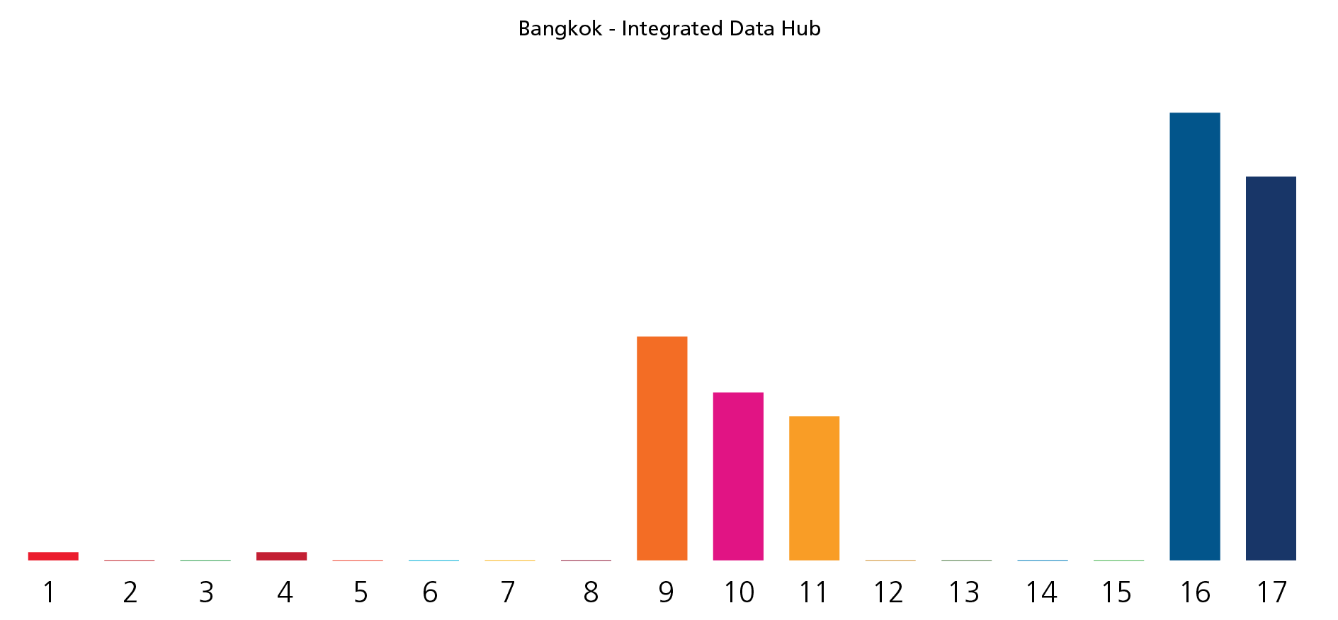
2 Integrated Data Centre Roadmap
View DetailsThe lack of collaboration between departments is one of the main challenges which hinders integrated approaches towards urban planning, transportation and resilience. One of the ways in which this plays out is in the lack of data sharing. Large cohorts of data are collected by the departments within BMA, but there is insufficient coordination amongst them, and an absence of a centralised system that allows data consistency, reliability and quality. Data sharing and un-harmonised analysis make more complex the deployment of projects and strategies within the city. The development of an Integrated Data Hub (IDH) should address the lack of inter-departmental cooperation and enhance integrated planning and the adoption of integrated approaches in response to urban challenges. The IDH’s first priority will be the development of a Data Science Platform (DSP) to enable the BMA to develop solutions capable of more readily achieving its strategic as well as developmental goals whilst ensuring coherence between departments. The Intervention proposed by the Global Future Cities Programme will support the BMA in designing and developing a road map for implementation of a world class data centre shaped to the specific requirements of Bangkok. The BMA data centre will inform and enable integrated, sustainable, future-focussed and responsive city planning and management.
Project Timeline
-
Charrette
-
Validation Workshop
December 2018 -
MoU signing
-
Kick-off Meetings
November 2019 -
SDG Tailoring Workshop
February 2020
SDG TOOL
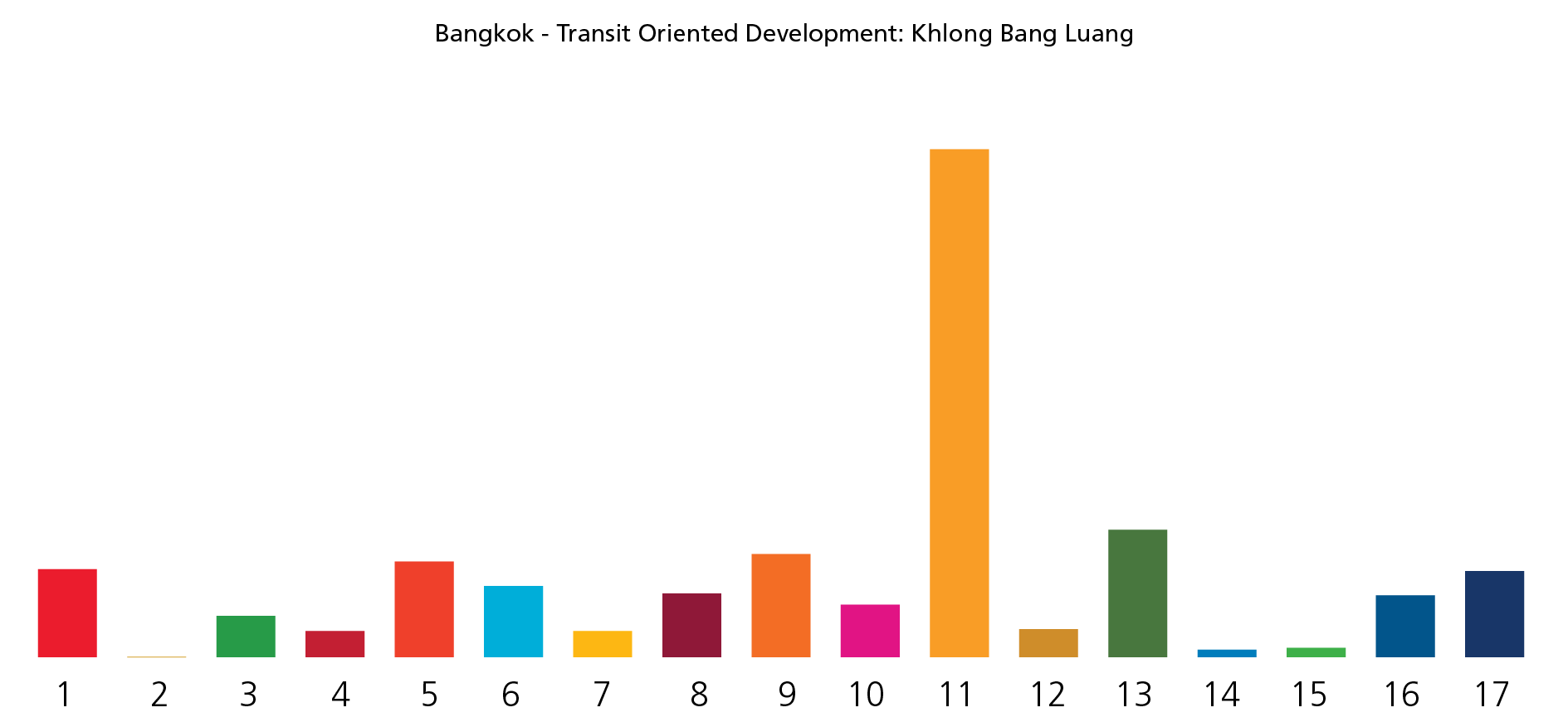
3 Transit-Oriented Development (TOD): Khlong Bang Luang
View DetailsBangkok’s traffic congestion is one of the worst in the world. Despite recent investments, the funds dedicated to the public transport system are not sufficient, and this impacts the mobility system as a whole. The implementation of mass transit stations to decongest strategic areas have attracted high-rise developments, that without adequate provisions for affordable housing, have displaced low-income communities. In addition, the lack of integration between the transport and flood control management leads to the exposure of the transport services to disruptions in times of heavy rain. The Khlong Bang Luang area was chosen for the development of an integrated plan with a focus on transit-oriented development approaches linked to the construction of the proposed new Bangkok Mass Transit System (BTS) station. The plan will promote public transport mode integration and incentivise non-motorised mobility within the area. At the same time, it will promote local economic development and introduce safeguards to ensure existing communities benefit from the implementation of the project and are maintained within the neighbourhood. In doing so, the intervention will help demonstrate how the government’s investments in enhanced transport access and connectivity can drive inclusive economic planning and sustainable development.
Project Timeline
-
Charrette
-
Validation Workshop
December 2018 -
MoU signing
-
Kick-off Meetings
November 2019 -
SDG Project Assessment Tool Tailoring Workshop
February 2020
SDG TOOL