How is the Global Future Cities Programme addressing the SDGs?

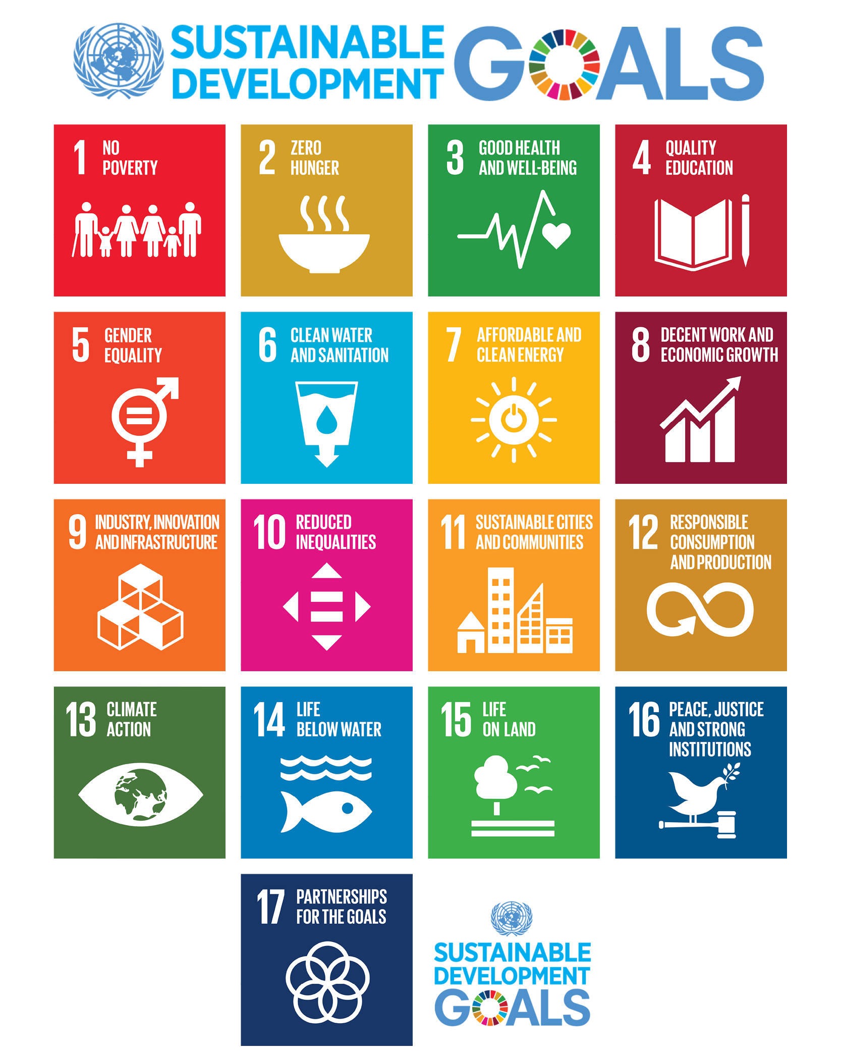
The SDG Programme Profile of the Global Future Cities Programme shows the potential of the 30 urban projects of the Programme to contribute to achieving the Sustainable Development Goals (SDGs). As part of 2030 Agenda for Sustainable Development, the United Nations General Assembly set 17 Sustainable Development Goals, which are an urgent call for action by all countries to addressing some of the most pressing global challenges such as poverty alleviation, addressing inequalities, preserving the environment and addressing climate change.

Cities play a key role in taking action on the ground to advance the SDGs, supported by the New Urban Agenda. To support cities in this, the Global Future Cities Programme (GFCP) has designed the SDG Project Assessment Tool which is being applied to improve the quality of the project designs of the Programme and to enhance their contribution to the SDGs.

The SDG Tool identified 54 Sustainability Principles in the field of Urban Planning, Transportation and Resilience, the thematic areas of the GFCP. The 54 Sustainability Principles align to relevant SDG indicators. A set of Sustainability Principles are selected based on the projects’ scope and cities’ context, which resulted in a unique SDG Project Profile for each of the 30 GFCP project designs. The SDG Project Profile provides an overview of the potential of specific projects to address the SDGs. The graph below aggregates these 30 SDG project profiles at Programme level which provides an understanding of the Programme’s potential to contribute to the SDGs. In addition, the SDG Programme Profile can be filtered by region and thematic area to understand how these components address the SDGs.

The GFCP will deliver the project designs for implementation. Throughout the GFCP the contribution to the SDGs of the project designs will be assessed and discussed with all stakeholders to maximise the projects and GFPC’ potential contribution to the SDGs. Please find more information on the SDG Project Assessment Tool here


Image


Learn about the SDG Project Assessment Tool
Sustainable Development Goals

SDG Key Drivers

SDG Key Drivers

Projects

Sustainable Public Space Revitalisation through Participatory Design

Country: Republic of the Union of Myanmar
City: Yangon

Through consultations with key actors urban planning and resilience were identified as best fitted, particularly in lieu of the issues Yangon’s CBD is facing in relation to heritage, public space and flooding. Through merging heritage and flood resilience components as part of a bottom-up integrated urban planning approach, the intervention can further build prosperity and promote sustainable urban development in Yangon. To better capture the diverse understandings of heritage in Yangon, the approach has been adapted to encompass components of both the built environment and cultural practices, reflecting the complex and multicultural underpinnings of the city’s history. Similarly, flood resilience not only refers to incidences of inundation per se, but looking at alternative solutions to sewerage, drainage, water supply and erosion, solid waste management and public awareness.

The intervention proposed, “Sustainable Public Space Revitalisation through Participatory Design”, aims to unlock the potential of Yangon City’s latent assets by developing learning-by-doing pilot projects from which recommendations can be extracted. These recommendations can be used to guide future urban processes and may include regulations on the management and governance of public space, new policies related to the public realm as well as methodologies that can be used to improve sustainable urban planning and design practice in the city. The Programme’s Technical Assistance will strengthen the capacity of local governments to deliver concrete projects, and subsequently inform policies, regulations and methodologies. This will be achieved by collaboratively preparing, developing and building tangible, replicable and scalable pilot project(s). 

The project has been hibernated until further noticed.

Implementation Strategy for Iskandar Malaysia’s Smart Integrated Mobility Management System (SIMMS) and Enabling Data Utilisation; and Data Management for Evidence-Based Urban and Transport Planning

Country: Malaysia
City: Iskandar Malaysia

Iskandar Malaysia’s mobility system both crossing into Singapore and throughout the rest of the region, is experiencing substantial levels of congestion. The current inefficiencies of the mobility system are a cause of concern, economically, environmentally and socially. High reliance on private motorised transport infringes on productivity due to time and money lost travelling and moving goods. Greenhouse gas emissions, particulate matter, air, and noise pollution are creating a stressful and unhealthy urban environment. Although Iskandar Malaysia is heavily investing in public transport, for example through the introduction of a Bus Rapid Transit (BRT) system and the development of a mobility planner application, the need remains to optimise the road network. To prevent the continuation of road expansions, traffic needs to be managed and planned more effectively. In response to these needs, a Smart Integrated Mobility Management System (SIMMS) will be developed. The proposed SIMMS will be designed to serve as a key foundation for a sustainable mobility system in Iskandar Malaysia by supporting day-to-day traffic operations as well as long-term transport planning.

To ensure the effective utilisation of the data collected by SIMMS, as well as other sources, the second component of the project is focused on Creating Enabling Conditions for Data Utilisation and Management for Evidence-based Urban and Transport Planning. Operational management and long-term planning require a reliable database that enables planners to find evidence-based solutions to the urbanisation challenges of the region. This project component will improve capacity in Iskandar Malaysia to use smart technologies and data analysis to inform future spatial and transportation plans. It connects directly with the Iskandar Malaysia Urban Observatory (IMUO) by creating a framework and building the necessary capacity to enable the integrated use of data across sectors and authorities. Through an integrated approach of informing both urban and transport planning, the project aims to be able to tackle issues such as the lack of accessibility and connectivity in the region, which threatens to heighten social exclusion particularly for those who cannot or do not drive.
 

A. Green Bus Network Improvement Plan B. Heritage Area Integrated Mobility Plan

Country: Malaysia
City: Melaka

Melaka is exposed to several transport and environmental issues; it experiences high volumes of traffic that stem from a mobility system unable to effectively accommodate the travel demands of the burgeoning tourism industry. Heavy reliance on private motorised transport and the associated traffic congestion are a cause of concern for the economic, social and environmental health of Melaka State and City. The road network has reached its carrying capacity for private vehicle access into and within the UNESCO World Heritage Site, causing delays to service deliveries, local commuters, tourists and other visitors. As the usage of private transport throughout Melaka State has surpassed the use of public transportation, there is an increased vulnerability in the sense of mobility and connectivity for those with limited access and ability to pay for private transportation, including children, the elderly, women, and low-income groups. Melaka’s heritage centre suffers from limited choice in travel, which reduces the accessibility to jobs, education, medical facilities, and other services and amenities. Greenhouse gas emissions and air pollution have adverse effects on both the environment and human health. Furthermore, the limited access to public transportation risks to detract tourists and negatively impact the tourism industry by limiting mobility and creating a traffic dominated urban environment. 

To address these challenges, a Green Bus Network Improvement Plan and an Integrated Heritage Area Mobility Plan will be devised. The two project components will be undertaken with the aim of enabling Melaka to implement the right infrastructure and mobility system to promote sustainable travel. This will alleviate Melaka State and Melaka's UNESCO World Heritage Site from the many stresses caused by traffic congestion, unmet parking demand and the poor provision of alternative modes of transport.